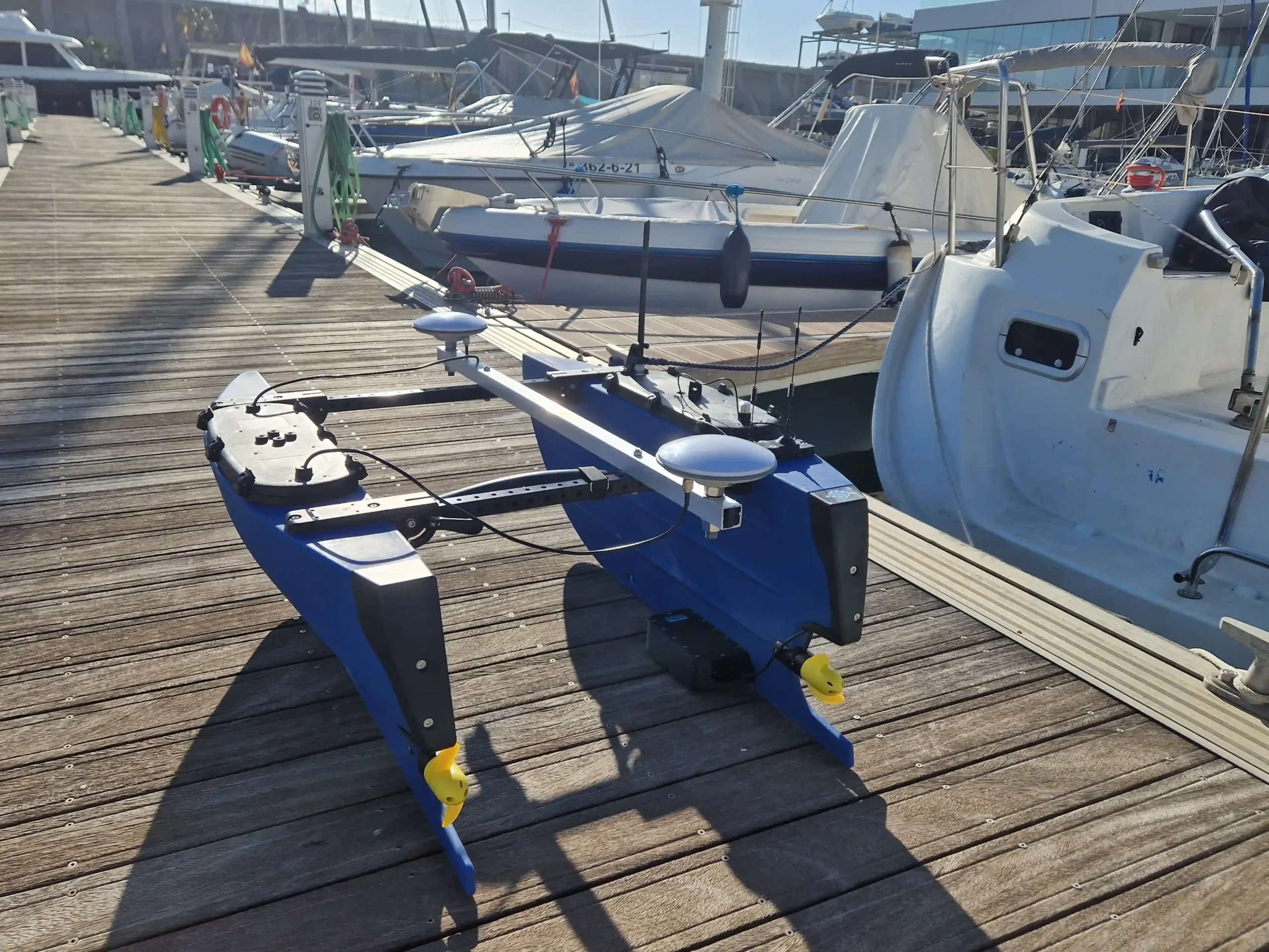
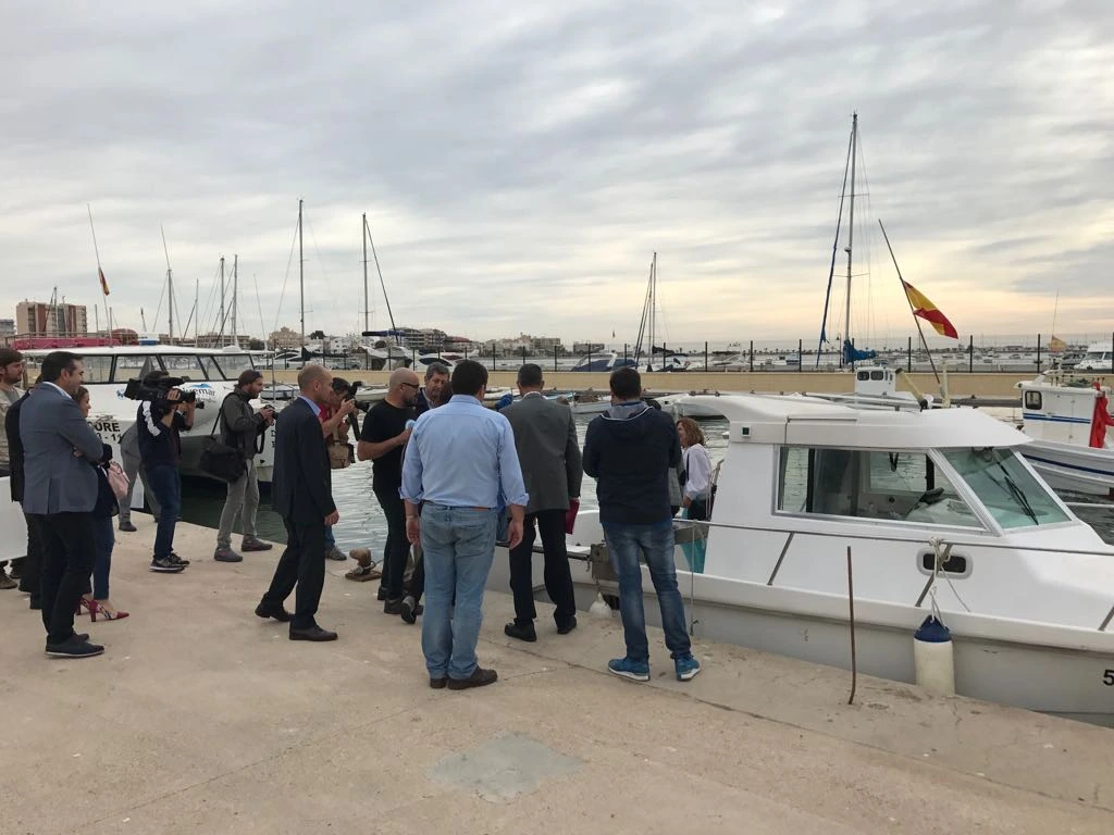
Main tasks carried out:
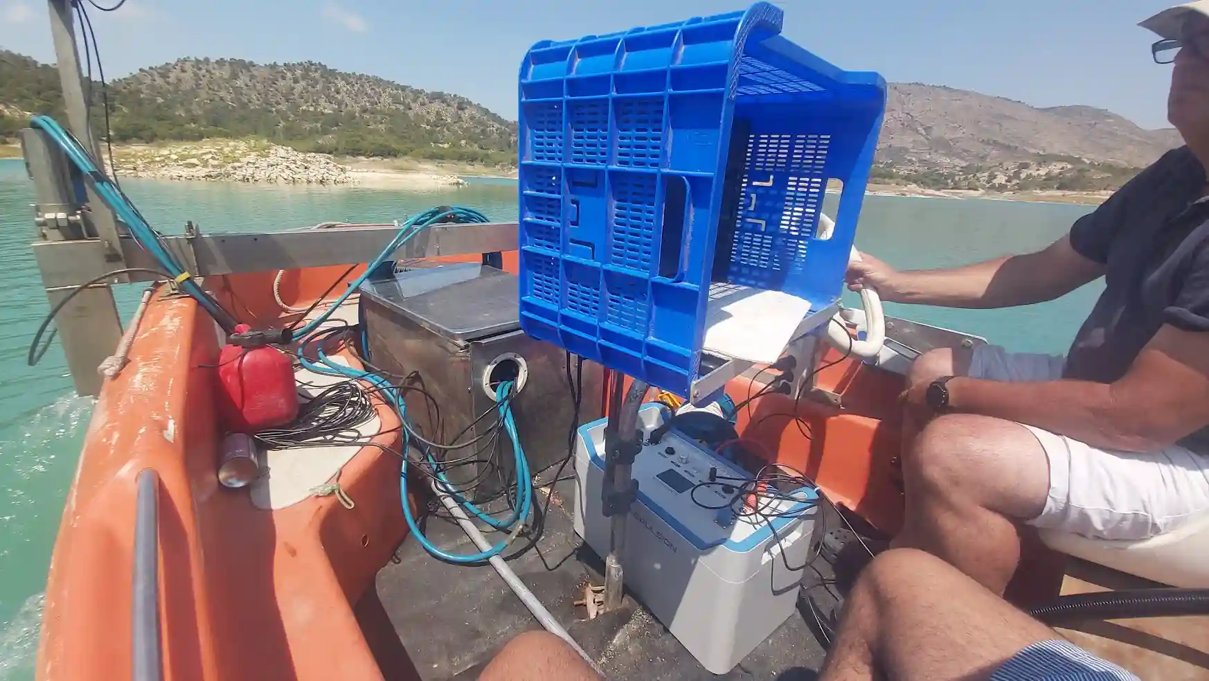
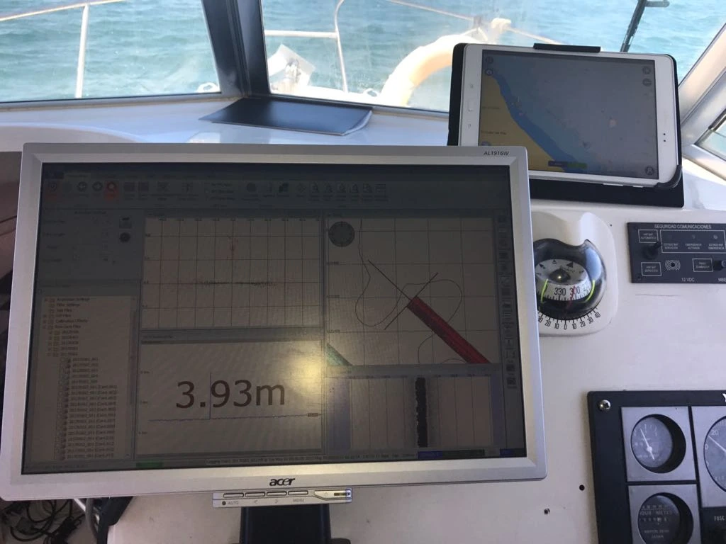
Bathymetric survey with an interferometric echosounder, achieving 100% bed coverage and a high-resolution seabed model.
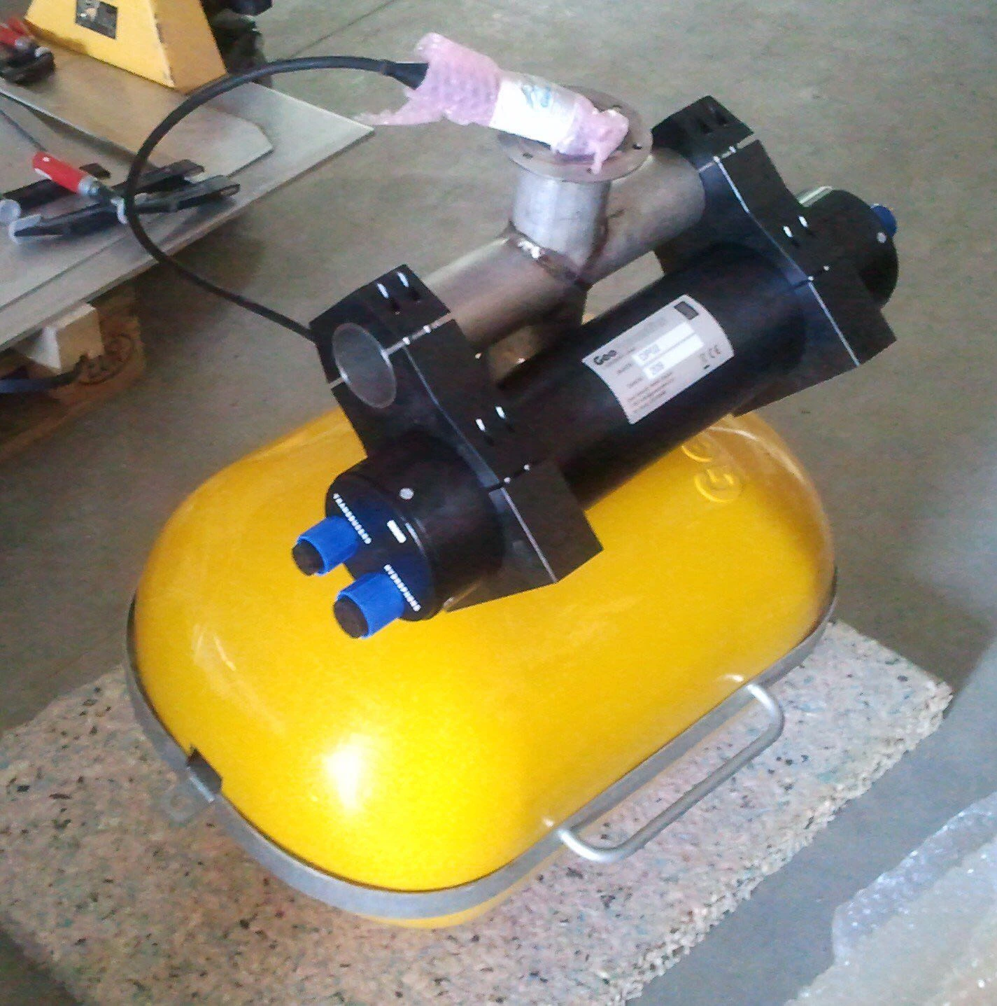
Acquisition of reflection seismic data with a Geoacoustics profiler, enabling the identification of sedimentary layers, density levels, and structural changes.
Complementary side-scan sonar for acoustic reflectivity analysis and detection of surface morphologies.
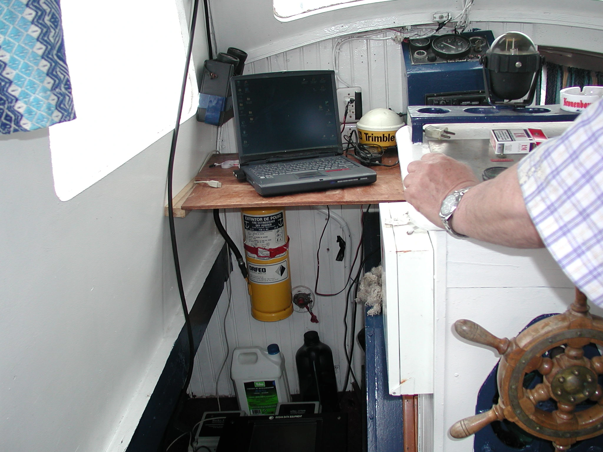
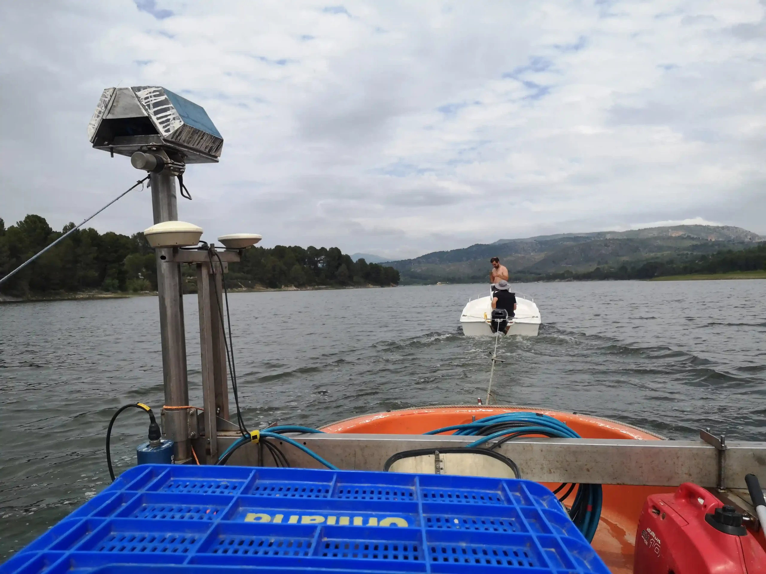
Real-time positioning with Trimble 5700 RTK GPS and differential corrections via base station.
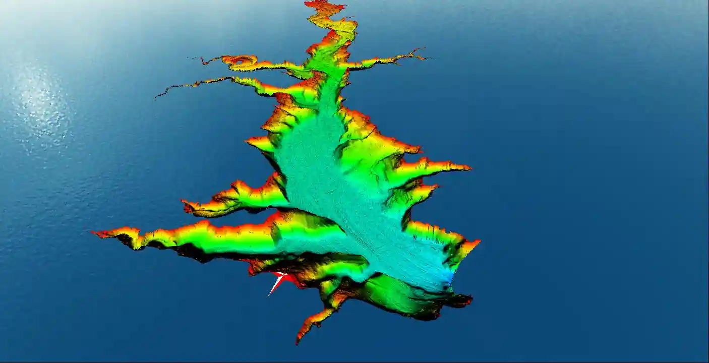
Data integration to produce thematic maps of the lagoon bed, with particular attention to areas of accumulation and nutrient transit.
Results:
Digital model of the Mar Menor seabed with a 0.5 × 0.5 m grid.
Seismic sections and stratigraphic interpretation identifying sediment accumulation zones.
Reflectivity and seabed texture maps useful for biological and environmental studies.
Technical support for researchers and deliverables in GIS and scientific formats.
Added value:
This project demonstrates Prosermar’s capacity to collaborate in complex scientific studies by combining hydrographic and geophysical techniques. The campaign contributed to environmental knowledge of the Mar Menor and served as a basis for future research and ecosystem management.