Bathymetric survey and LIDAR flight to calculate volumes and update the digital terrain model.
Innovation in Civil and Maritime Engineering
Civil and Maritime Engineering Consultancy with more than 30 years of experience leading projects with cutting-edge technology.
Leading Marine Engineering with Advanced Technology
At Prosermar Ingeniería S.L., we combine experience and cutting-edge technology to deliver precise solutions in bathymetry, underwater surveying, and seabed studies.

> Our Services
High-Precision Bathymetry
High-precision surveys to map the seabed and generate digital models of the submerged terrain.

> nuestros Servicios
Estudios geofísicos
Análisis del subsuelo mediante sísmica y reflectividad acústica para identificar capas, sedimentos y estructuras enterradas.

> nuestros Servicios
Integración de sistemas (SCOP)
Desarrollo de sistemas de control y posicionamiento para maquinaria marina como dragas, grúas o pontonas.

> nuestros Servicios
Cálculos volumétricos y curvas de embalse
Procesamiento de datos para obtener curvas de capacidad y volúmenes en embalses, dragados o rellenos.

> nuestros Servicios
Escaneado de paramentos
Digitalización láser de muros, diques o taludes con máxima precisión para análisis estructural o deformaciones.

> nuestros Servicios
Topografía con GNSS y LIDAR
Levantamientos terrestres de zonas emergidas mediante GPS RTK y sensores LIDAR embarcados o aéreos.

> nuestros Servicios
Estudios oceanográficos
Medición de corrientes, mareas y parámetros físicos mediante sensores como ADCP y mareógrafos.
> Recent Projects
Real Solutions for Marine Environments

Port of Avilés
High-precision surveys to map the seabed and generate digital models of the submerged terrain.
- October 2024 – March 2025
- Avilés (Asturias)

Bellús and Alicante Reservoirs
Multibeam bathymetric survey to update the reservoir curve and calculate volumes.
- June 2023
- Beniarrés (Alicante)

Mequinenza Reservoir
- April – September 2022
- Avilés (Asturias)
> Technical Equipment
Cutting-edge Technology for Demanding Environments
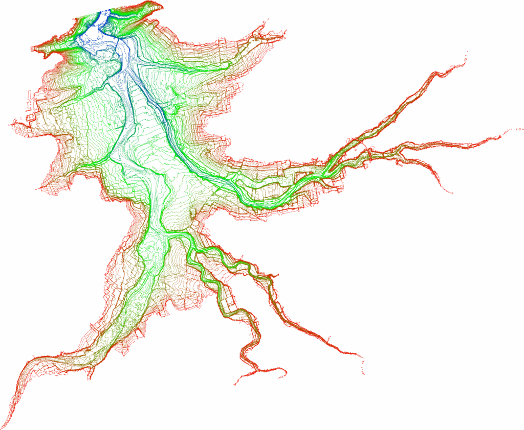
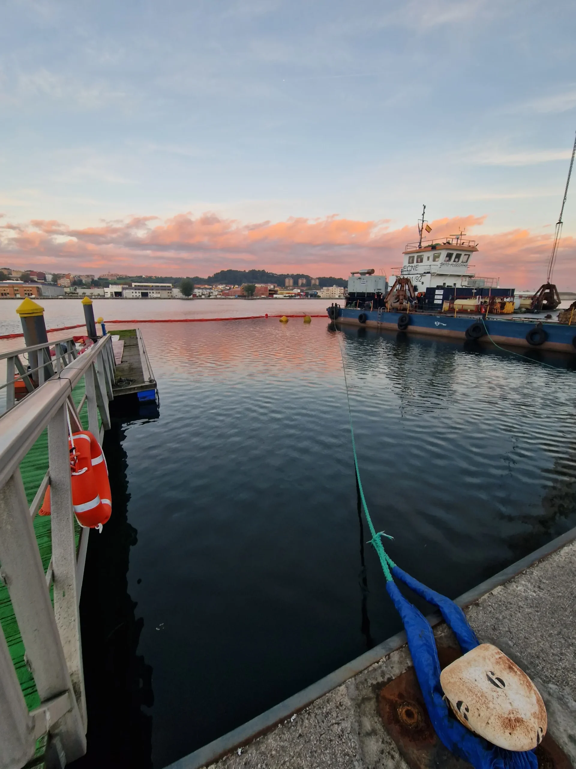
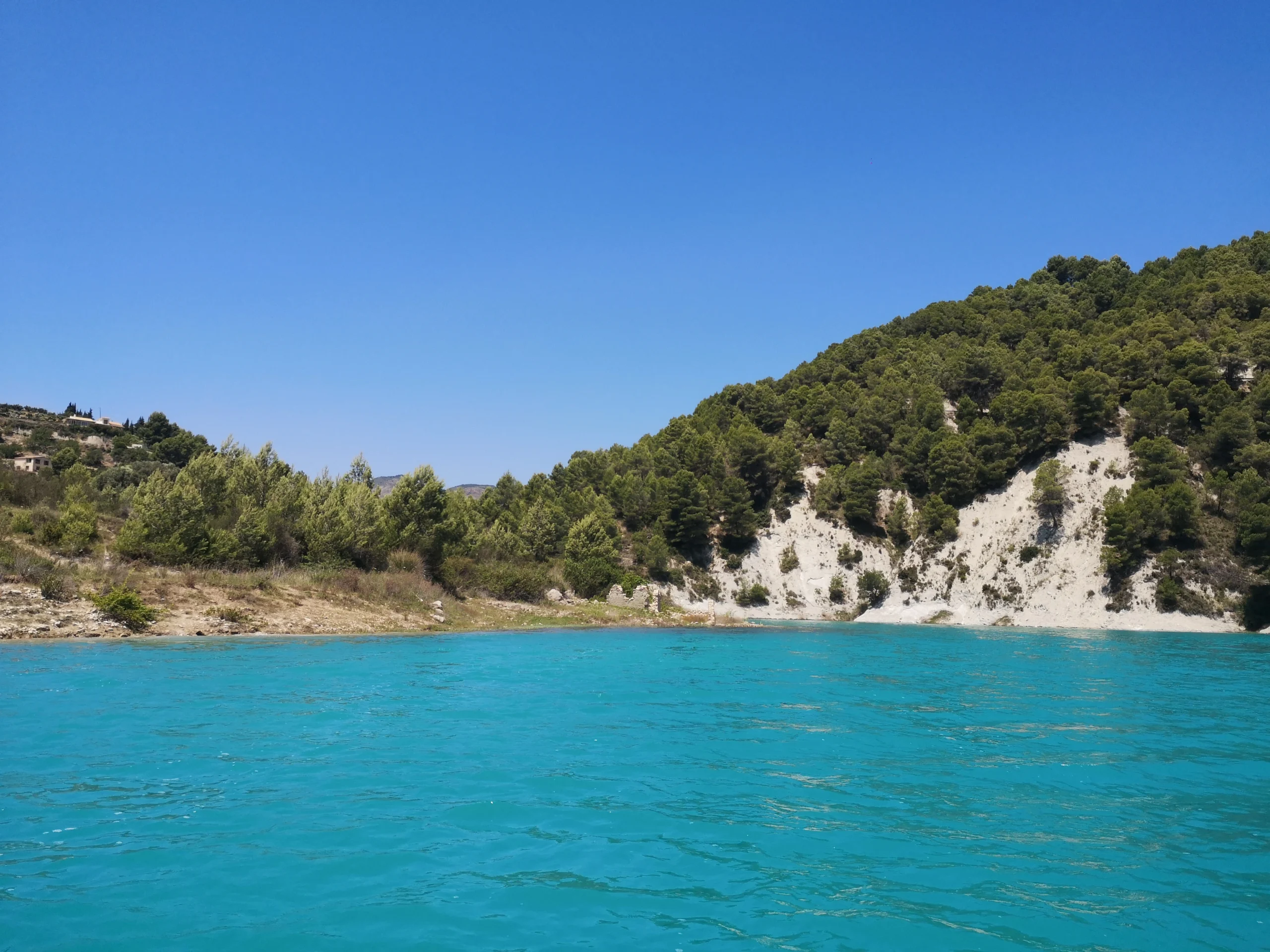
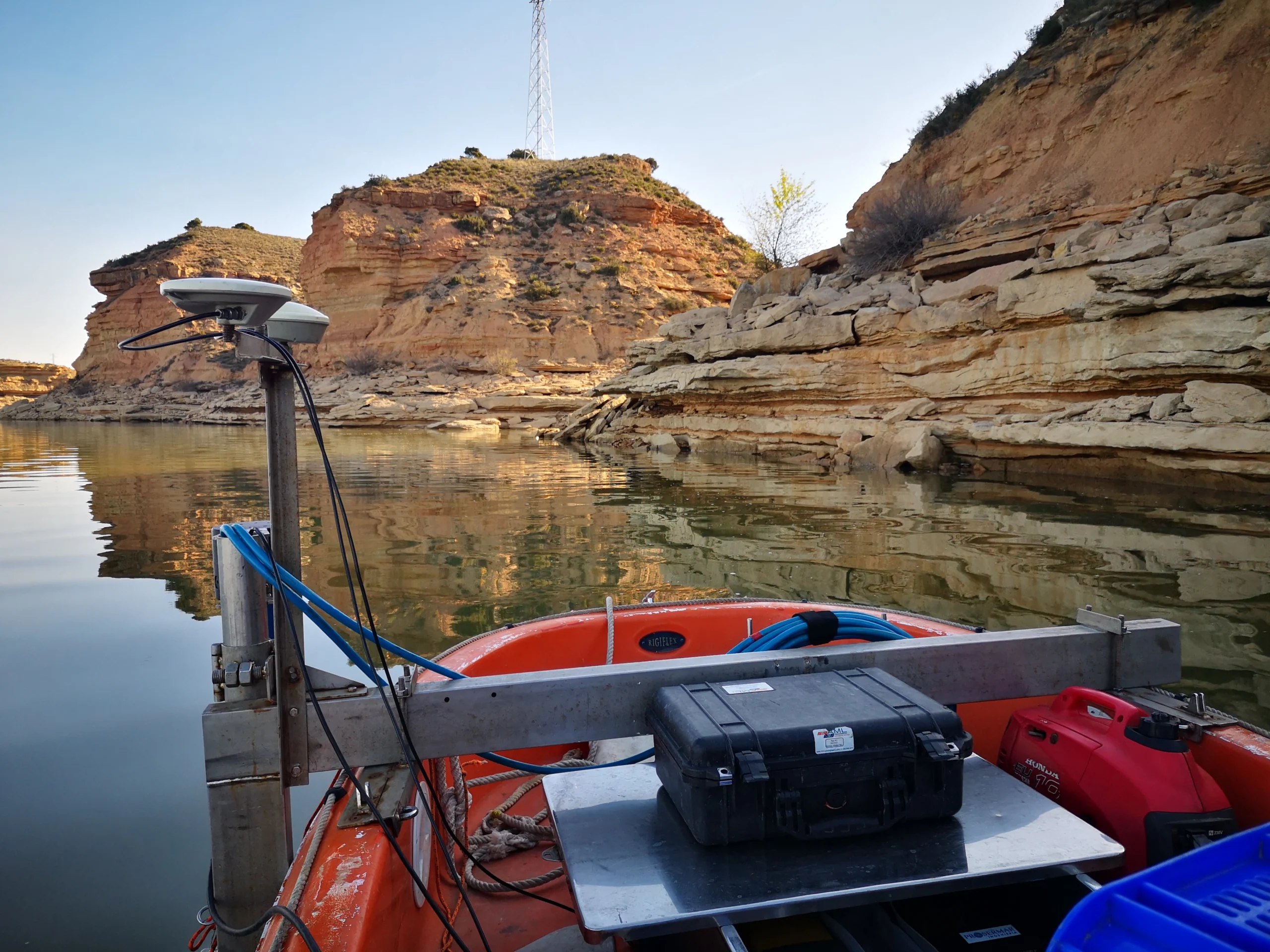
We combine our own vessels, hydrographic sensors, geophysical equipment, and specialised software to obtain precise data in any environment.
> contact us
Let’s talk about your next project.
Do you have a project in mind? Contact us and our team of experts will advise you with tailored solutions.
- enriquebardisa@gmail.com
- +34 952 60 11 06 / +34 617 48 75 19
- C/ Juan Cabaniles 11, 29018, Málaga (España)
